Stitching UAV images
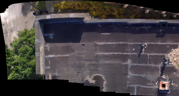
The drones are used by many companies to observe objects which are hard to access by a human. A collection of images acquired in flight is more usable if stitched together to form a large map. An algorithm was developed for automatic offline stitching of photographs. Single frames are taken from a pre-recored movie.
Such collection of images together with some flight/trajectory and camera parameters may be used to reconstruct the full 3D map of the object. A precise camera calibration is required for this purpose.
Other applications of image processing in UAV is automatic object tracking.
- Project date: September 2022
- Category: Image processing